
Capturing accurate spatial data, creating detailed point clouds for 3d modelling and analysis.
We conduct 3D laser scanning to capture detailed spatial data. We process this data to create accurate point clouds, which are used for various applications across different sectors, including construction, architecture, and engineering, providing precise 3D models for analysis, design and documentation.
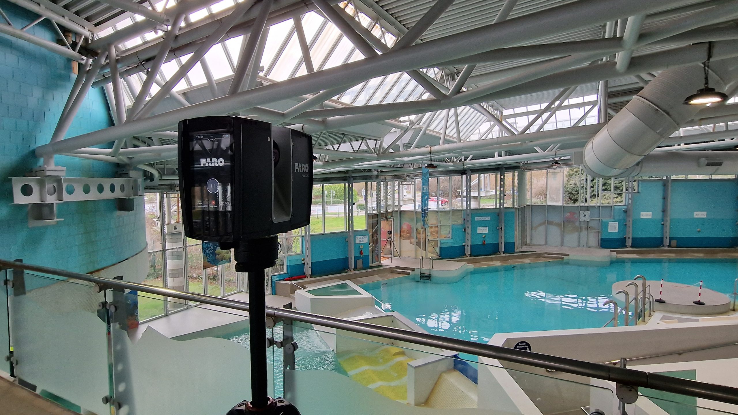

3D scanning offers several sustainability advantages when compared to traditional surveying methods:
Overall, 3D scanning offers a sustainable means of surveying by optimizing resource use, reducing environmental impact, and improving efficiency and safety in data collection and analysis.