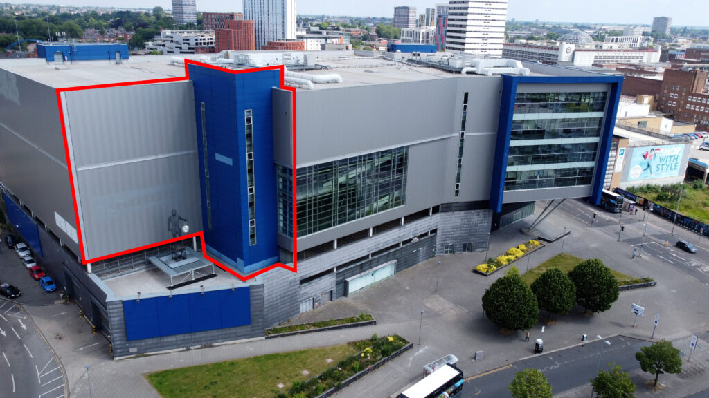
Spin360Surveys Ltd specialises in providing high-quality drone footage for dilapidation surveys, offering an innovative approach to building and property inspections.
Using drone technology, our team is able to capture detailed aerial views of structures, ensuring comprehensive documentation of their current condition. This method not only enhances the accuracy of the surveys but also significantly reduces the time and risk involved in traditional inspection techniques.
Our drones are equipped with high-resolution cameras that provide sharp, clear images and videos, enabling precise identification of any damages or structural issues.
Our meticulous process
The process begins with a thorough planning phase, where we assess the site and determine the optimal flight paths for the drones to ensure complete coverage.
Once the flight plan is established, the drones are deployed to capture the footage. The data collected is then processed and scrutinised by our team, who create reports highlighting observations of concern. These reports are invaluable for clients, offering clear, visual evidence of the property’s condition.
This information is crucial for property owners, developers, and construction companies to make informed decisions regarding maintenance, repairs, and potential claims. By using drone technology, Spin360Surveys Ltd delivers efficient, accurate, and cost-effective dilapidation surveys.